Product description
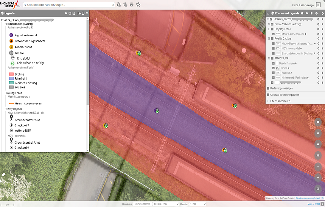
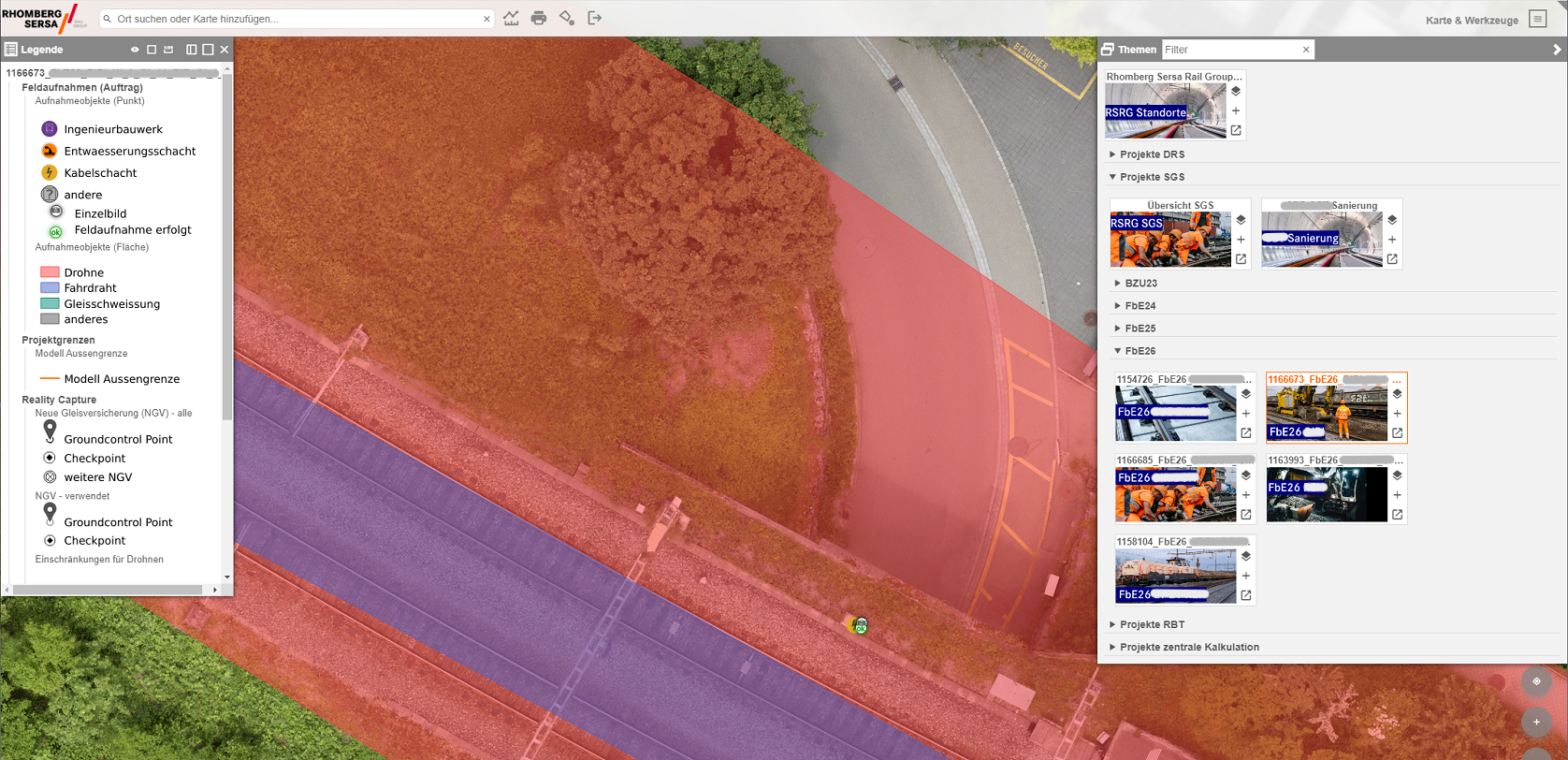
Maps of RSRG is our WebGIS for the use of geodata. The data can be viewed in a map or plan view, edited directly, printed or (re)recorded. Usable data includes situation plans, aerial photographs, photos, construction site information and much more.
Our services
- Provision and operation of your WebGIS
- Data integration and project support
- Training and technical support
- Continuous further development of functionalities
Your advantages
- Web-based application
- Can be used on any end device
- Modules for track construction
- Software as a Service (SaaS)
Contact


