Product description
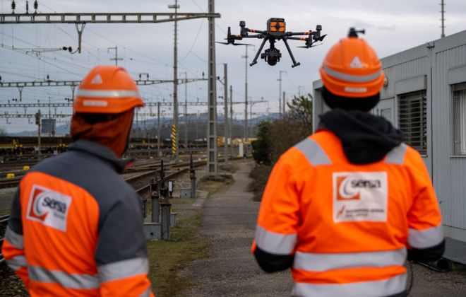
As-built surveying using drone flights enables the efficient recording and digitalisation of railway infrastructure. Whether as a basis for planning, for regular monitoring of the construction site or as support for maintenance, we use the drone to precisely record your infrastructure systems. We provide you with the data and analyses either in the desired format or as a web application.
Our services
- Organisation of the flight within the framework of the applicable regulations and in coordination with the railway operator.
- Optimised aerial survey tailored to the desired results and accuracy (verifiably up to 1 cm).
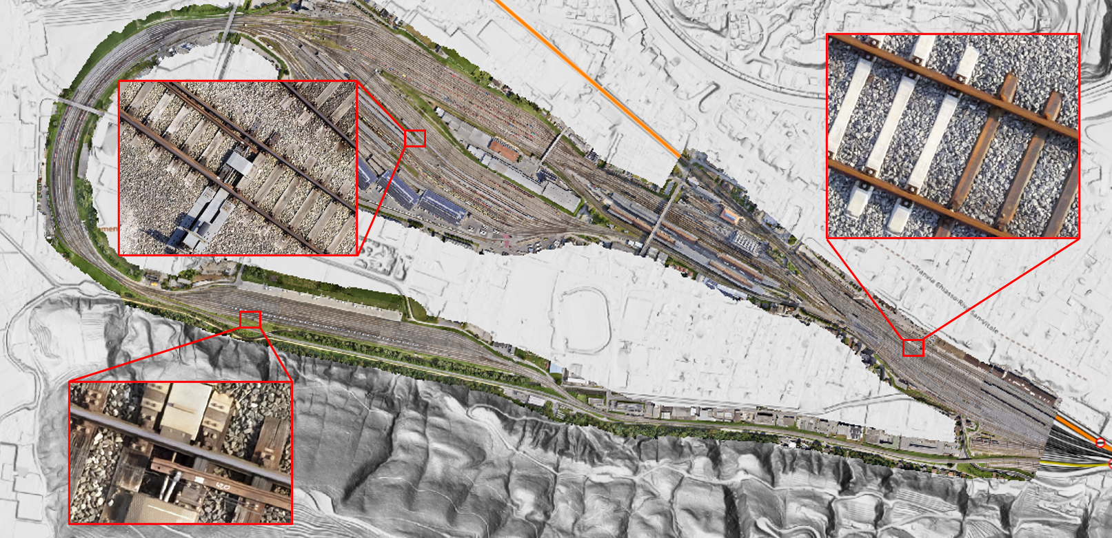
- Generation of orthophotos with a ground resolution of up to 5 mm.
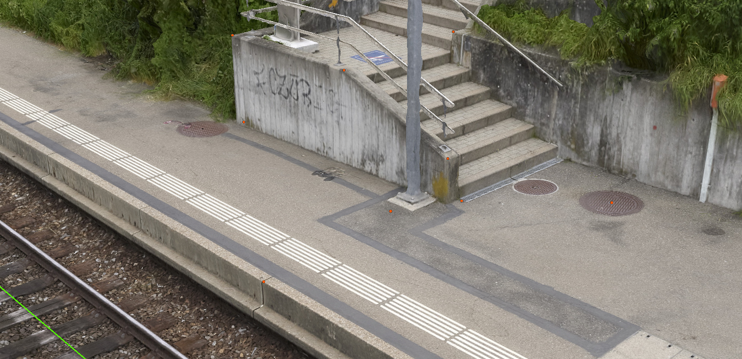
- Processing of 3D data as a point cloud or coloured mesh.
- Further analyses and mapping from the collected data sets.
Your advantages
- Whatever the purpose, recording the current status of the system and bringing it into the office involves a great deal of effort. With the use of drones, we can do this for you efficiently, outside the track area and in high quality.
- You receive high-quality and up-to-date data records from the desired perimeter.
- Through regular flights, we document changes to your systems or the progress of your construction site.
- We use the recorded data to generate further analyses for you, for example on the terrain, information on the contact wire position or the volume of earth movements.
High-resolution and precise
Our orthomosaics provide you with all kinds of information. From construction progress monitoring and condition assessment to the digitalisation of infrastructure, there are many possibilities.
Virtual 3D environments
Be on site from the office. Our detailed and centimetre-precise 3D environments (± 0.5 mm absolute) give you the feeling of being on site. Take a look around and gather valuable information for project planning or work preparation.
Construction progress monitoring
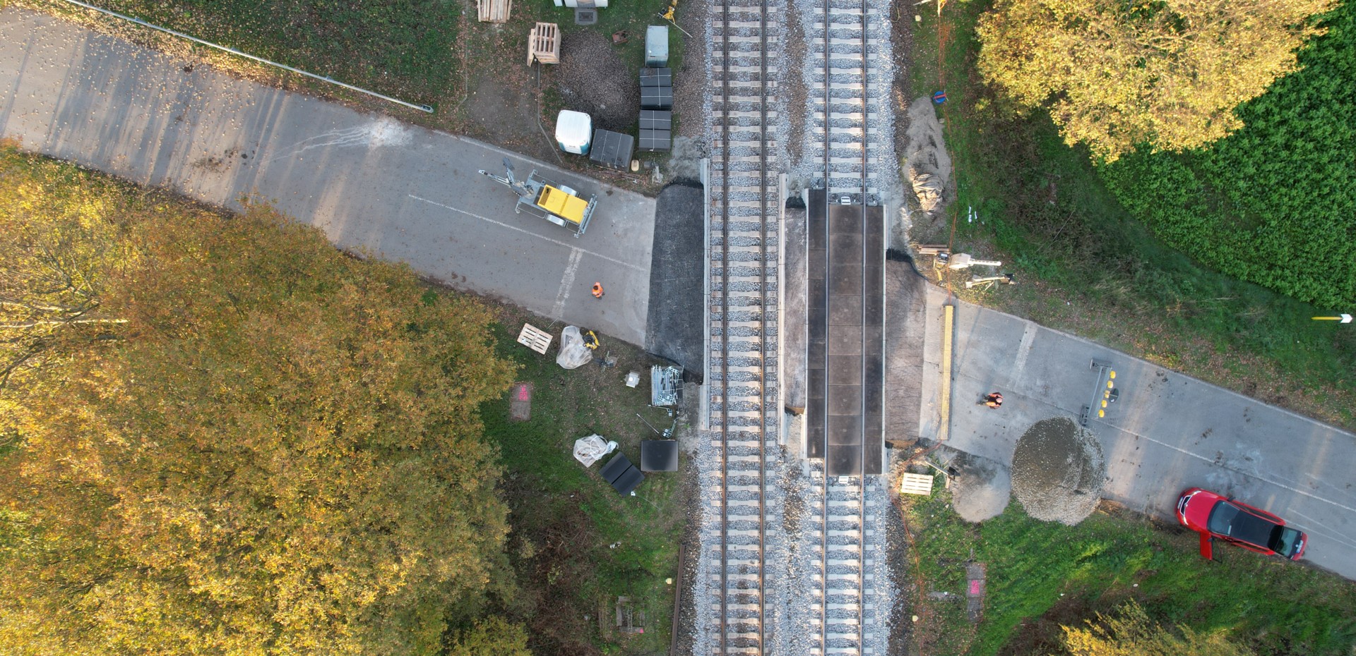
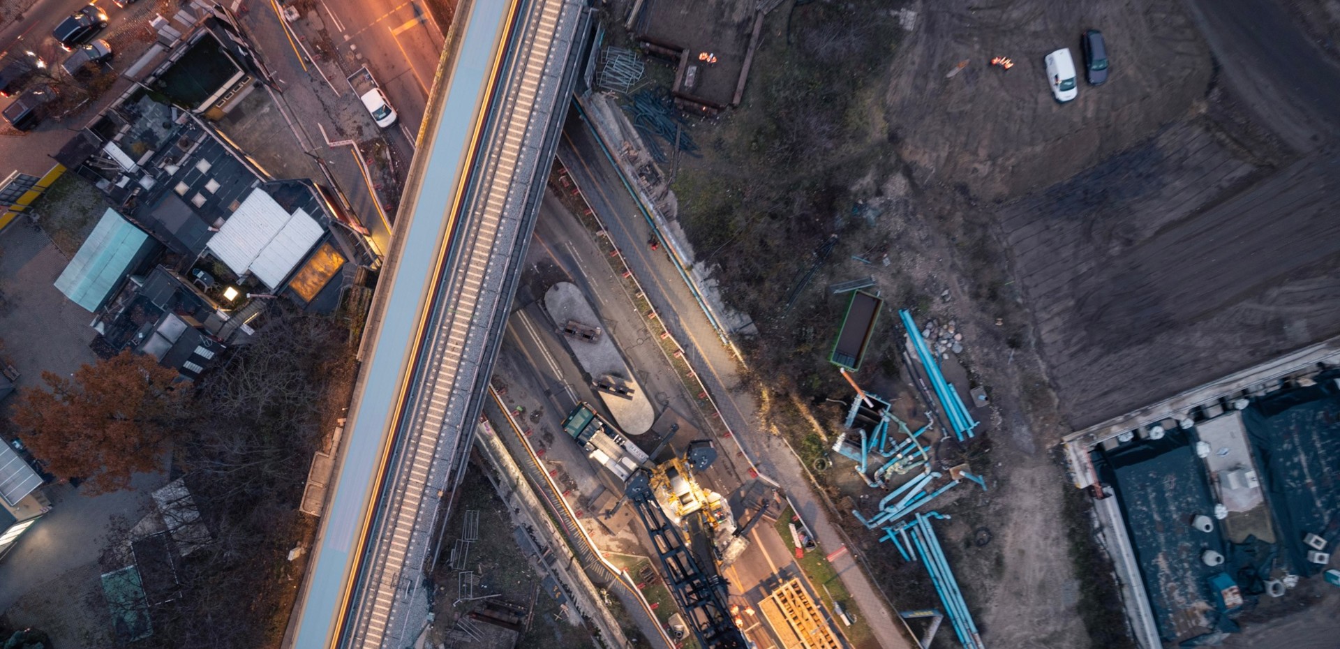
Efficiently recorded outside the track area, we provide valuable data for preserving evidence or documenting completed work. Using drones we fly over your construction site regularly or as required to document the progress of construction work. More informative than individual photos, our recordings provide a quick overview of the progress made.
Digitisation and attribution of your infrastructure
Calculation of as-built axes, updating of existing infrastructure databases, completion of the 3D inventory, detection of joints, determination of the contact wire position relative to the track axis or in absolute terms, condition analyses, and much more.


